Navigating New Frontiers: AI’s Role in Enhanced Geospatial Mapping for Urban Planning in 2024
Introduction
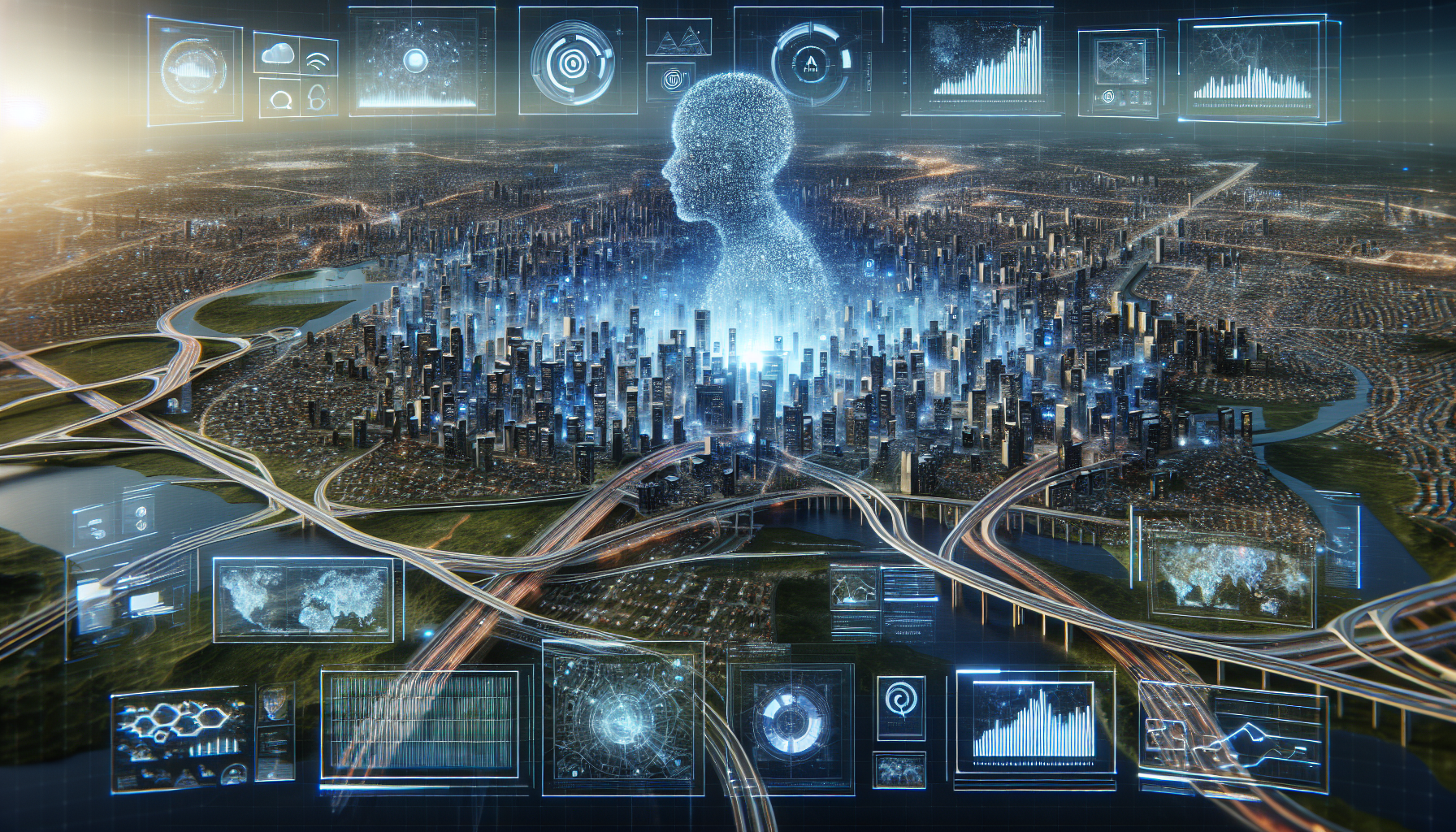
Urban planning in 2024 has embraced a revolutionary toolset with Artificial Intelligence (AI) at its core, reshaping how cities are designed and managed. The integration of AI with geospatial mapping technologies has given rise to sophisticated analytical tools and models that enable urban planners to make more informed decisions than ever before.
AI-Enhanced Geospatial Technologies
Cutting-Edge Mapping Solutions
Advancements in AI have significantly improved the accuracy and efficiency of geospatial mapping:
- High-resolution Imaging: AI algorithms enhance satellite and aerial imagery, providing unprecedented detail.
- Automated Analysis: Machine learning models automatically analyze geographic patterns, reducing the need for manual interpretation.
- Predictive Modeling: AI powers predictive models that forecast urban growth and environmental impacts, aiding in sustainability efforts.
Real-time Data Integration
AI systems integrate real-time data into geospatial maps, offering dynamic views of urban landscapes:
- Traffic Flow: AI models predict and display real-time traffic conditions, helping in traffic management.
- Public Safety: Enhanced mapping helps in planning emergency responses with real-time risk mapping.
Applications in Urban Planning
The role of AI in urban planning spans various aspects, each benefiting from the enhanced capabilities of geospatial technologies:
- Infrastructure Development: AI helps in identifying the best locations for new infrastructures such as roads, hospitals, and schools.
- Environmental Management: AI-enabled tools forecast environmental changes and plan urban spaces that can sustain ecological balance.
- Public Health: Geospatial data is used to track disease vectors and plan public health interventions.
Case Studies
Cities around the world are adopting AI-enhanced geospatial mapping to improve urban living:
- Smart City Initiatives: In cities like Singapore and Barcelona, AI geospatial tools support smart city solutions, improving everything from public transport to waste management.
- Disaster Response: In areas prone to natural disasters, real-time data mapping aids in efficient and effective response strategies.
Challenges and Future Directions
Despite its benefits, integrating AI into geospatial mapping comes with challenges:
- Data Privacy: Ensuring the privacy of the data used in AI models is paramount.
- Skill Gap: There is a need for skilled professionals who can operate sophisticated AI tools.
Future Trends
Going forward, AI’s role in geospatial mapping will continue to grow, driven by advances in technology and a greater emphasis on sustainable urban development.
- Increased Automation: Further automation in data collection and analysis is expected.
- Enhanced Collaboration: New tools will enhance collaboration among various stakeholders in urban planning.
Conclusion
As we move into 2024, AI’s integration with geospatial mapping is setting new standards for urban planning. By enabling more precise and dynamic insights, AI is not just a tool but a transformative force in the continual reshaping of urban landscapes.